Your personal weather forecast!

Requires iOS 13 or higher. Available as free download for iPhone and iPad.
First Steps and Help
Use WeatherSelfie to create your own weather forecast based on current weather conditions at your location with just these three simple steps:
Click – Select – Forecast

With the help of the built-in artificial intelligence modules, anyone can create a weather forecast. We use automated feature detection with a neural network to detect weather patterns in the sky. An expert system trained by professional meteorologists is then used to create a forecast for the next 3 – 24 hours.

First, start by taking a picture of the sky. Ideally, point your camera in the direction from where the weather/wind is coming. Also, make sure that you only photograph the sky with no other object visible. (Like trees, buildings etc.)
The picture is immediately analyzed and classifed by a neural network. Depending on those results, the most likely weather condition is selected.

You’re now presented with a list of weather conditions, with the most likely condition already preselected. Check the sky if this makes sense, or choose another scene if apropriate. Use the (i) to get more information on conditions if unsure.
If you’re comfortable with your selection, continue by pressing the forecast button within the selected weather scene.

A graphical forecast will now appear, valid for the next couple of hours. When the expert mode is enabled, additional information about the current condition is displayed.
Use the sharing button to share the forecast with your friends and family!
Widgets
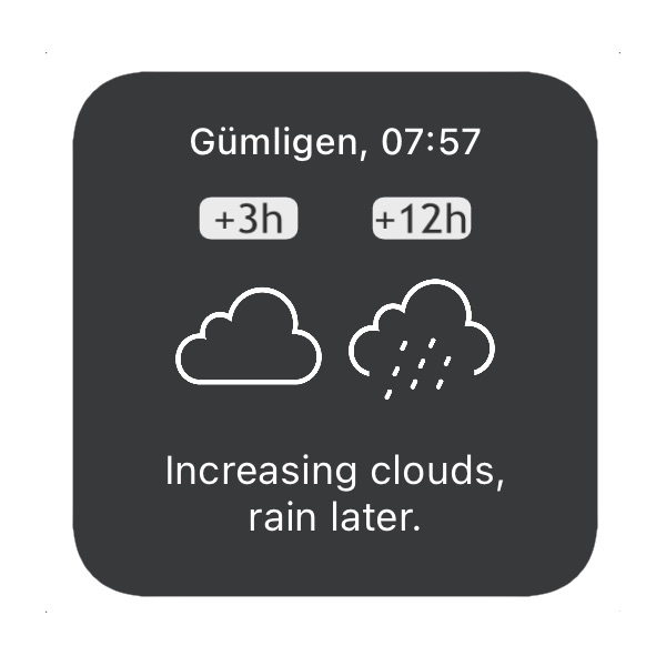
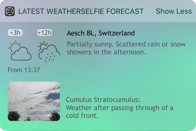
Access the most recent forecast directly from home-screen (iOS 14 or newer) or today widget.
Sharing
Share your forecast with your colleagues. Requires one-time Pro Mode in-app purchase.
Forecast Archive
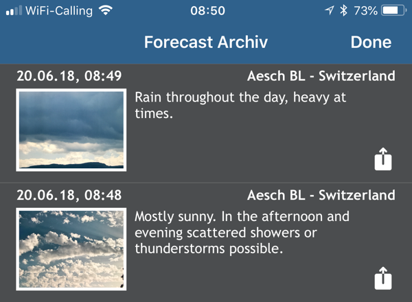
Save your forecast to the archive for reference or for a later use. Requires one-time Pro Mode in-app purchase.
More about Weather and Clouds
In order to do a simple short-term weather forecast some basic knowledge about clouds is required. Of course, it’ll be always hard to come up with a precise forecast, however, a trend can often be identified.
This app uses season, climate zone, and cloudiness to create a short-term forecast. The app analyses the image of the sky thru AI and tries to figure out the correct type. However, this won’t be always successful (and you have to pick the most similar condition yourself). That’s why we continuously optimize the algorithms with more data.
If you get to recognise the various cloud conditions, you’ll be able to do your own forecast even without an app. We use the follow ten cloud types:
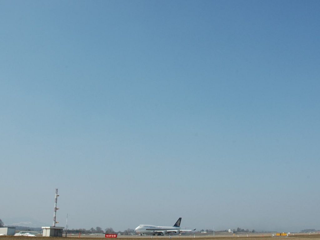
Clear Sky
In high-pressure areas, air sinks on a large scale, but slowly, which is referred to as subsidence. The descending air gets warmer, the relative humidity increases and any existing clouds will dissolve.
Typical Weather Situation: High Pressure
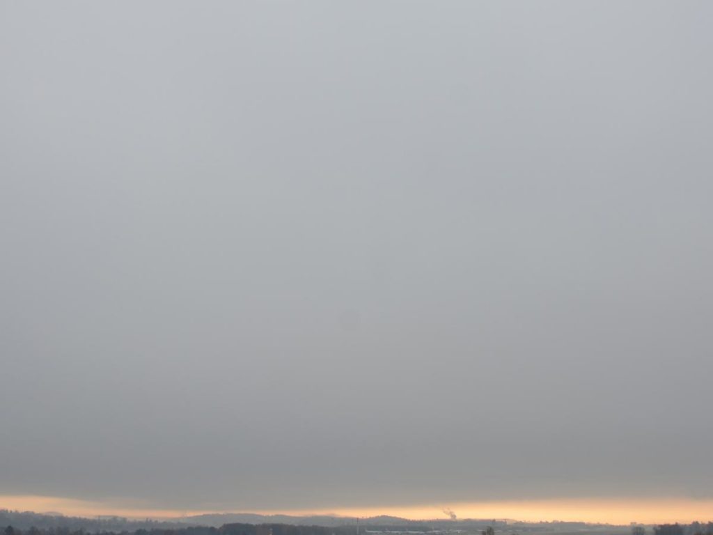
Stratus, Advection fog
Deep, gray, uniform layers of clouds, a few hundred meters in height. Above that, mostly sunny.
Typical Weather Situation: Cold winds (mainly fall and winter)
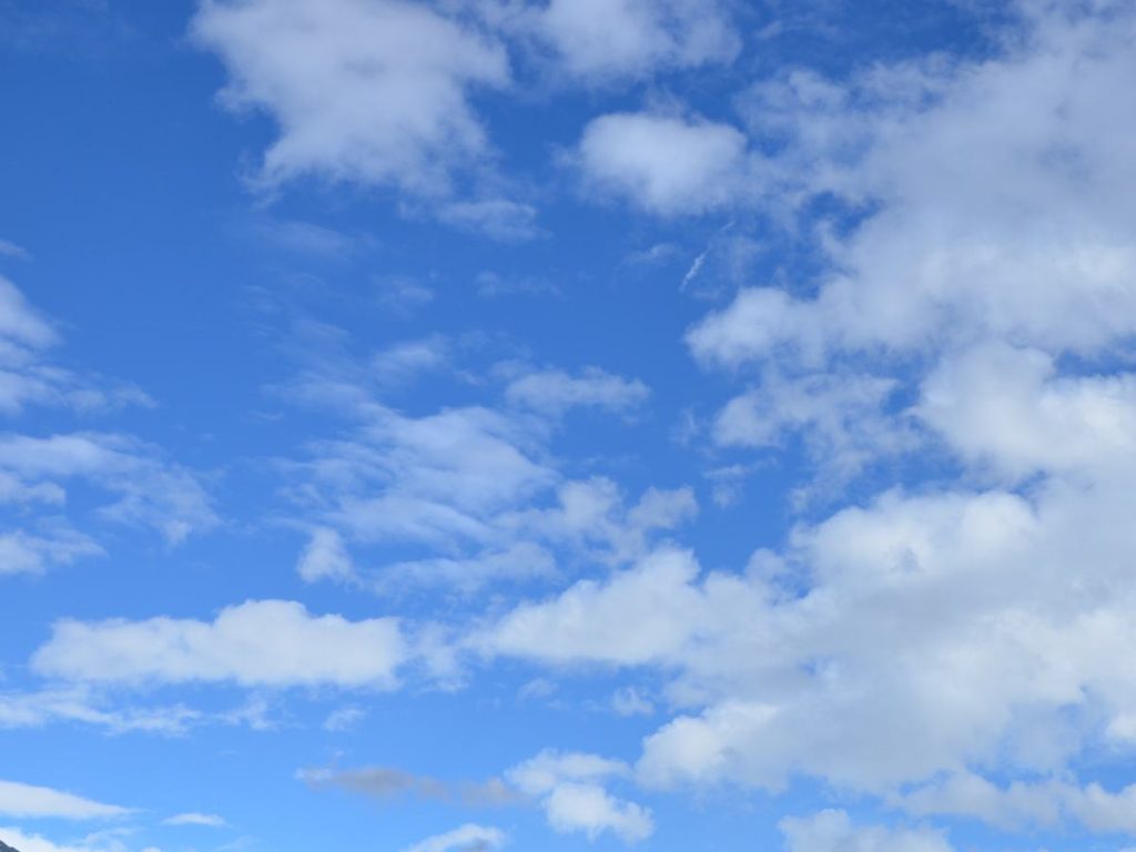
Cumulus humilis
Occur especially in spring and summer, with slightly unstable temperature stratification of the atmosphere and are often referred to as fair weather clouds. Their height is not very large, and usually smaller than the horizontal extent.
Typical Weather Situation: High Pressure
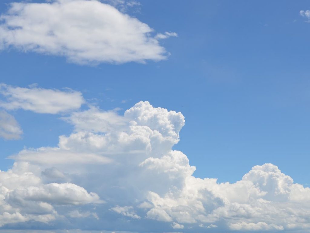
Cumulus congestus
These cumulus clouds are usually referred to as cauliflower clouds, because of their appearance. If the conditions are ideal, they can continue to grow into thunderstorm clouds (Cumulonimbus),
Typical Weather Situation: flat pressure distribution
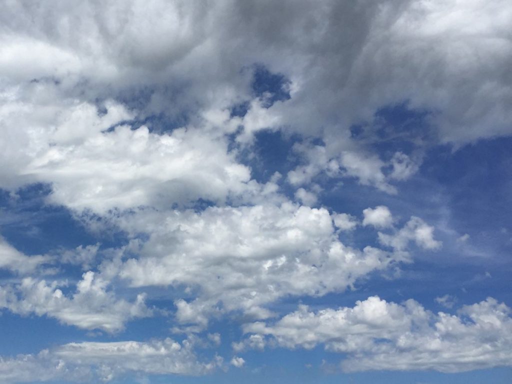
Altocumulus castellanus
These rows of turrets shaped clouds can be observed in the summer, often early in the morning. They can evolve into thunderstorms later in the day.
Typical Weather Situation: flat pressure distribution and unstable (labile) temperature stratification of the atmosphere
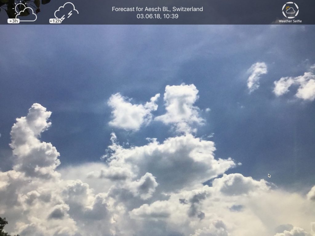
Cumulus and Stratocumulus
These clouds appear after the passage of a cold front on two different layers: at the top the extended Stratocumuli with gaps to the blue sky, below some Cumuli with dark grey bases.
Typical Weather Situation: backside weather, behind a cold front
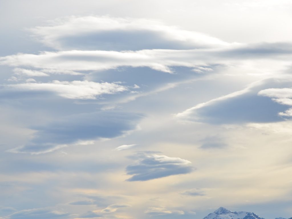
Altocumulus lenticularis
These clouds are often referred to UFO clouds, or föhn fish clouds because of their shape. They form on the leeward (back) side of mountains.
Typical Weather Situation: Foehn (chinook)
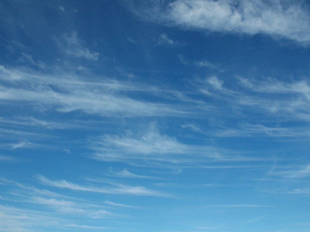
Cirrus uncinus
Veil of clouds at great heights, often hook-shaped, and partly frayed.
Typical Weather Situation: Forerunner of an approaching warm front
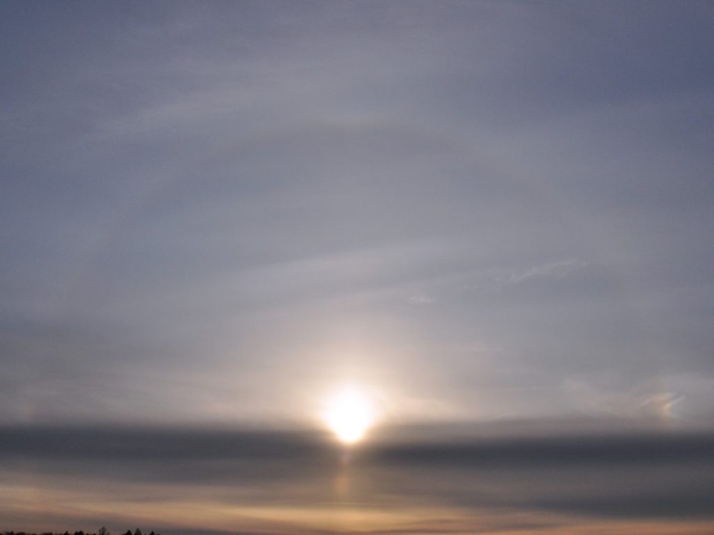
Cirrostratus
High layer of clouds, which extend over the whole sky. In the case of very thin cloud layers, circular rings around the sun or the moon can occur, a so-called halo.
Typical Weather Situation: approaching warm front
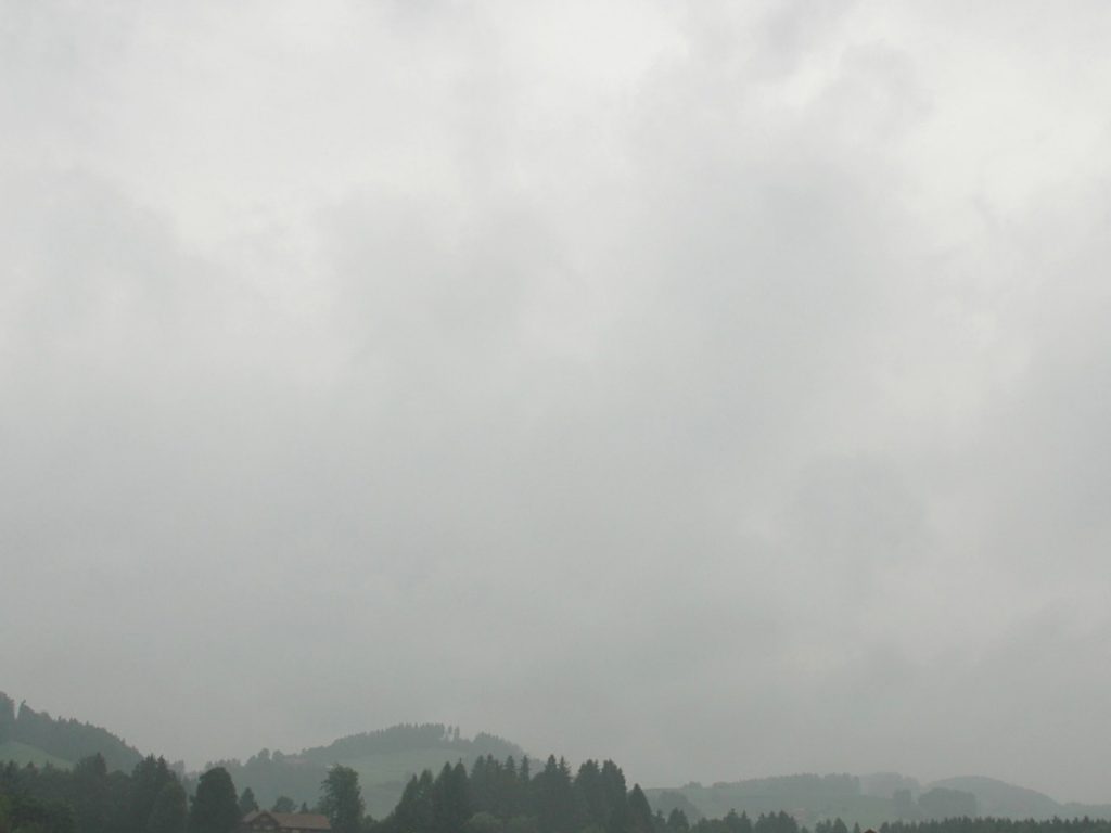
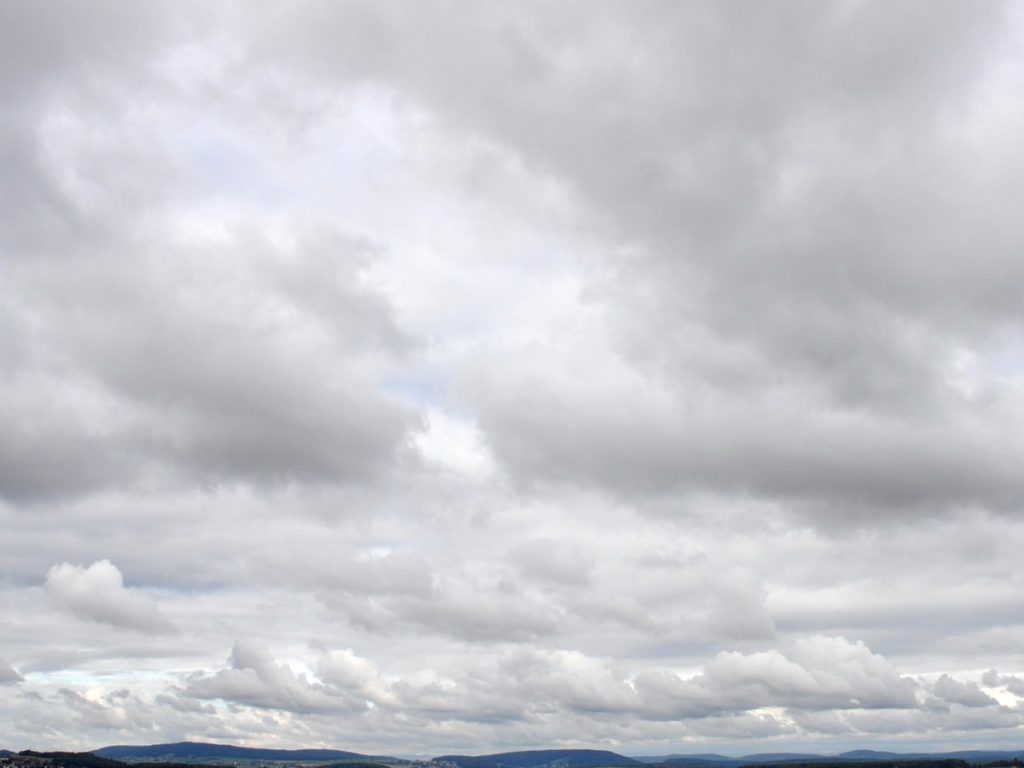
Nimbostratus
The typical rain cloud that brings continuous rain. In contrast to the stratus/fog clouds, there are visible structures.
Typical Weather Situation: active weather front
Frequently Asked Questions
Why does WeatherSelfie need to access the location?
The weather forecast depends on the climate zone of your location. That way, more accurate forecasts can be created. We use the climate classification according to Köppen und Geiger.
How does the Barometer work?
The Barometer displays current pressure, converted to sea level. This makes the pressure comparable, and it can also detect if you’re located in a high or low pressure zone. An arrow also indicates the pressure trend for the last couple of hours. (The App needs to be used several times within a few hours for this to work.)
Does the app also work at dusk or during nighttime?
The automatic detection of clouds only works if there is enough light. Certain weather conditions can also work at night. E.g a halo around the moon can help with a forecast. But in general, the app is designed for daytime use.
Clouds are not recognised properly
The pictures are analyzed with the help of an AI (Artificial intelligence) system and mapped to one of 10 built-in weather conditions. This mapping is based on training data, which we continuously improve. If the selected mapping doesn’t make sense, simply choose another weather condition manually. You can help us improve the automated mapping by sharing the analysis data with us. You find the option for that in the settings.
Privacy
All pictures are processed locally and never leave your device.
Please also check out our Privacy Policy.